It is located in the Nafusa Mountains, (Western Mountains), about 120 km away from Tripoli. It is located at 12.86 east longitude and 32.03 north latitude. It is famous for its agriculture and its fertile lands, as its altitude is 850 meters above sea level.
The area has heavy rains in winter, which made it a fertile land suitable for rainfed agriculture due to the remoteness of the groundwater, and this area is characterized by olive, almond, fig and peach trees, as olive is one of the most famous agricultural products in Al-Asabaa.
The actual resident population in the 2010 census is approximately 27,600 people. It is one of the largest cities in the mountain after Gharyan.
History
On March 23, 1913, a battle took place on the land of the Al-Asaba area between the Libyan Mujahideen and the Italians. It was fierce and the Italians suffered heavy losses.
Its Tourist Attractions
*Wadi Zarit Dam.
*Natural water springs "Tagnet".
*The southern forests.
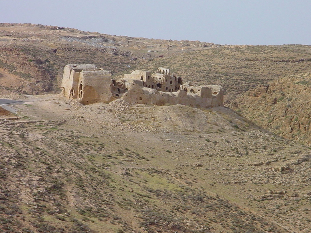
*Historic Al-Asabaa Palace, which is more than 550 years old. It was built in the circular style. It is an old stone building. Despite its relative massiveness, the construction method is very primitive, and it was established for the purpose of preservation and storage. These buildings are often in a circular shape and consist of many rooms and basements. The benefit of the rooms is to preserve crops and grains such as wheat and barley and store them so that they can live on them as long as possible, while the basements were used to store and preserve olive oil.
Origin of the Name
(Al-Asabaa means fingers) It is said that the chief of its main tribe had 6 fingers, so they were known by this name. It is also said that it was known in the past as “Vinaza”.
[VIDEO::http://www.youtube.com/watch?v=pn3aBA8a2r0]

