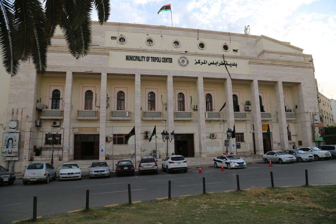
Municipality of Central Tripoli launched Geographic Information System (GIS) in order to build a database for geographic information for the state projects, besides assisting government bodies by providing them with logistics and maps for positions as needed.
The Head of the GIS project Osama Al-Rajhi said the aim is to collect and analyze positions’ data and then deliver it to the needed institutions to help them in projects’ planning and constructions as well as expansions within cities.
News


